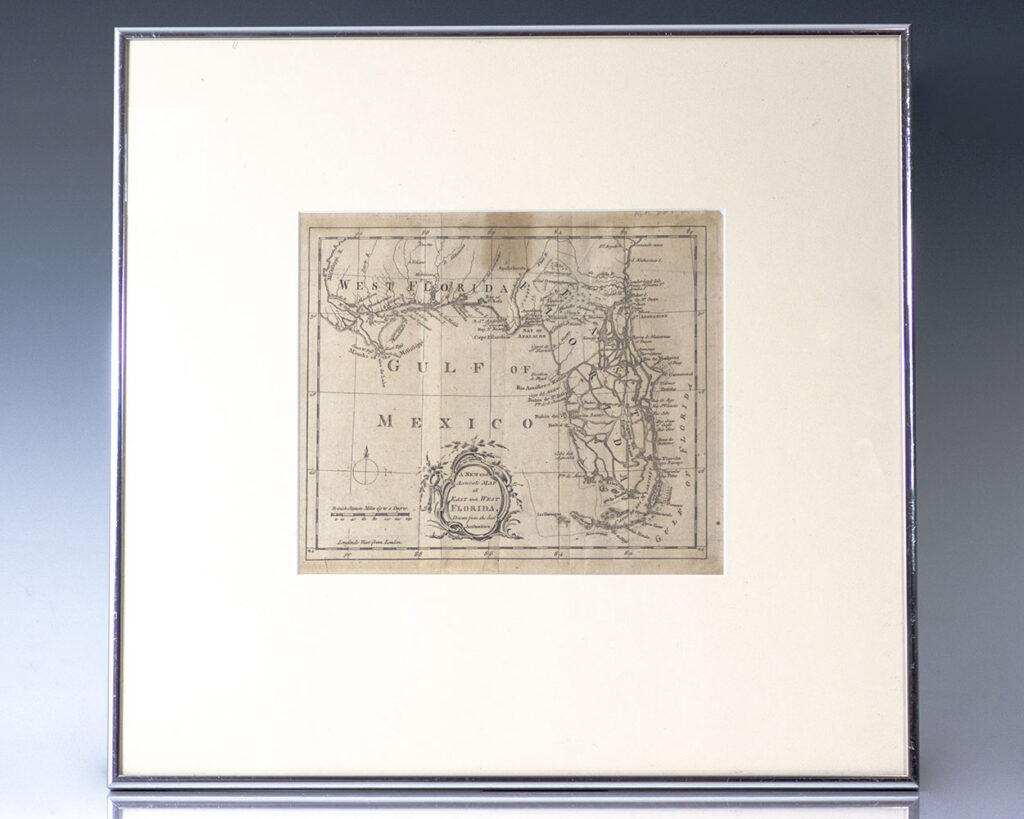
A New and Accurate Map of East and West Florida. Drawn from the best Authorities. [18th Century Map of Florida].
London [c. 1765].
Engraved 18th century English map of the state of Florida; one of the earliest printed maps of the state which appeared in the London Magazine in March of 1765. One page, the map is divided into British East and West Florida, showing South Florida as a group of over 50 islands and a number ofContinue reading "A New and Accurate Map of East and West Florida. Drawn from the best Authorities. [18th Century Map of Florida]."
Read more$1,500.00
Item Number: RRB-138232


![A New and Accurate Map of East and West Florida. Drawn from the best Authorities. [18th Century Map of Florida].](https://raptis.bvbeta.com/wp-content/uploads/2026/01/RRB-138232.jpg)
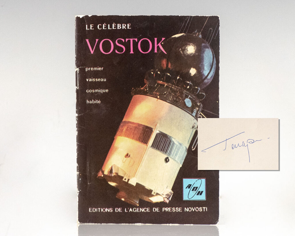
![Le Celebre Vostok: Premier Vasseau Cosmique Habite. [The Famous Vostok: First Inhabited Cosmic Vessel].](https://raptis.bvbeta.com/wp-content/uploads/2026/01/RRB-141042.jpg)


![The Jungle Book and The Second Jungle Book. [Fore-edge Painting].](https://raptis.bvbeta.com/wp-content/uploads/2026/01/RRB-139448.jpg)