
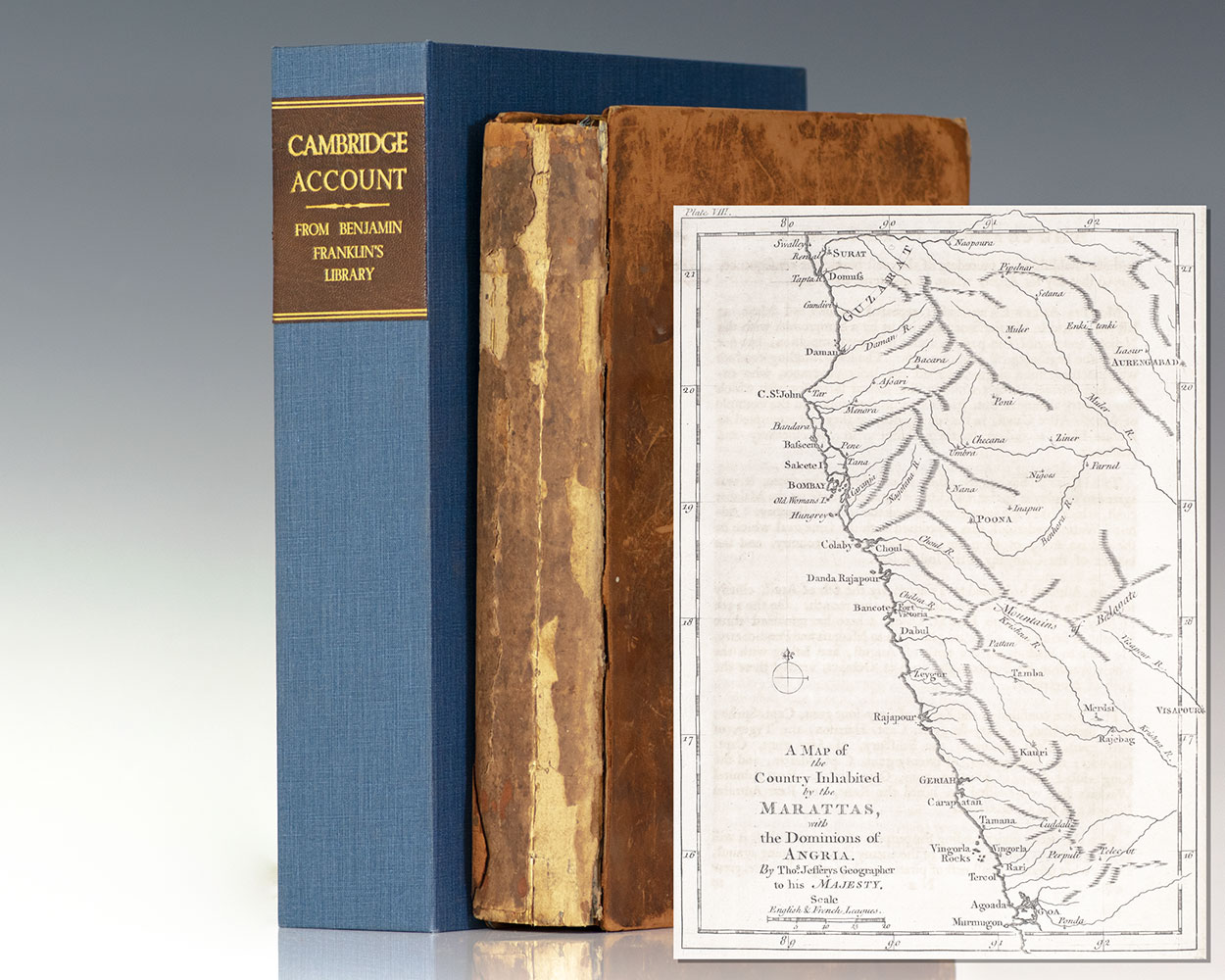
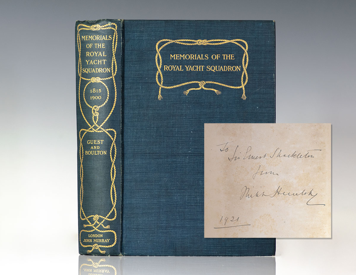
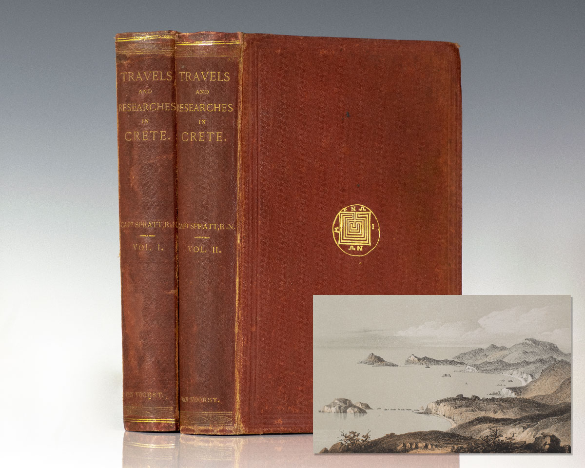
Cambridge, Richard Owen [Benjamin Franklin]
An Account of the War in India, Between the English and French, on the Coast of Coromandel, From the Year 1760. Together with A Relation of the late Remarkable Events on the Malabar Coast, and the Expeditions to Golconda and Surat; with the Operations of the Fleet. Illustrated with Maps, Plans &c. The Whole Compiled from Original Papers.
London : Printed for T. Jefferys, 1761.
Benjamin Franklin’s first edition copy of Cambridge’s account of the progression of the Seven Years’ War in India, from Franklin’s private library. Quarto, bound in full contemporary calf, marbled endpapers, illustrated with 12 engraved maps and plans and 6 plates, mostly folding. From the private library of Benjamin Franklin. Franklin’s contributions to science and politicsContinue reading "An Account of the War in India, Between the English and French, on the Coast of Coromandel, From the Year 1760. Together with A Relation of the late Remarkable Events on the Malabar Coast, and the Expeditions to Golconda and Surat; with the Operations of the Fleet. Illustrated with Maps, Plans &c. The Whole Compiled from Original Papers."
Read more
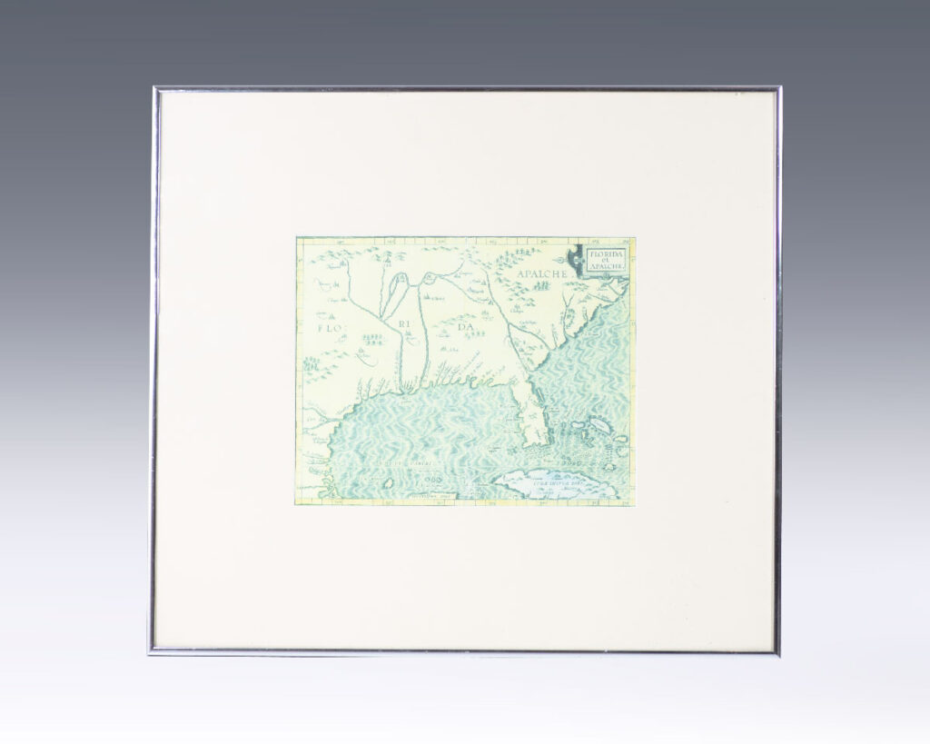


![Florida et Apalche. [Facsimile 16th Century Map of Florida].](https://raptis.bvbeta.com/wp-content/uploads/2026/01/RRB-138762.jpg)


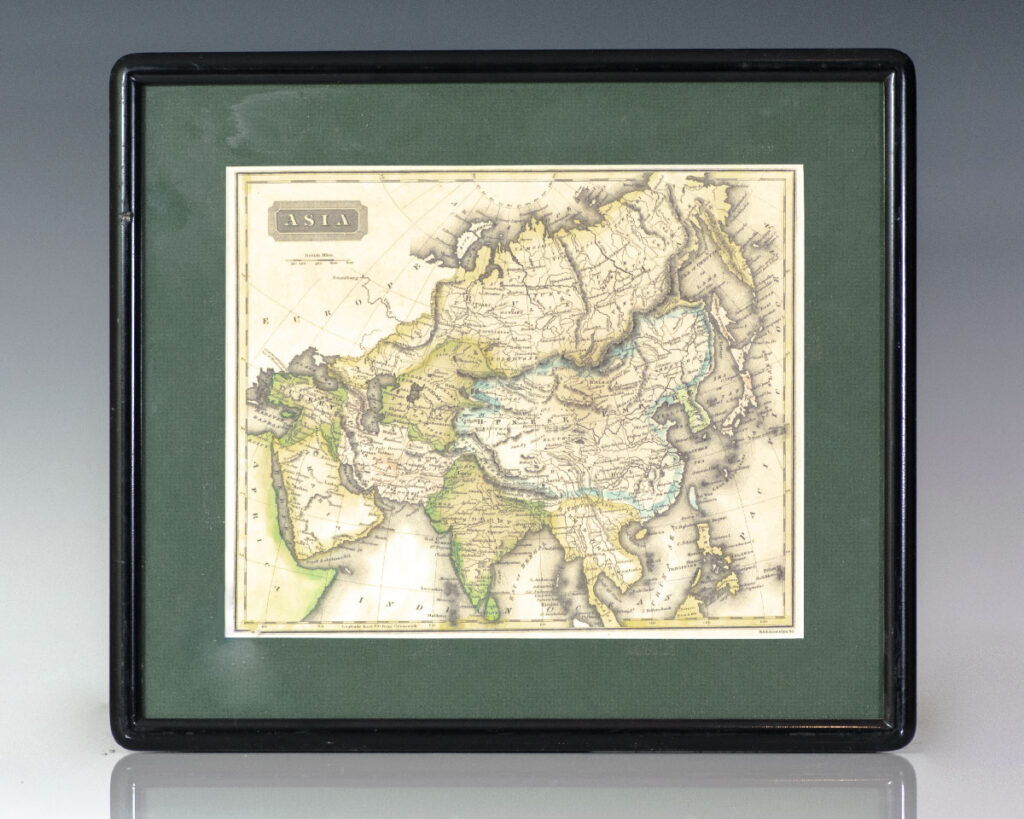
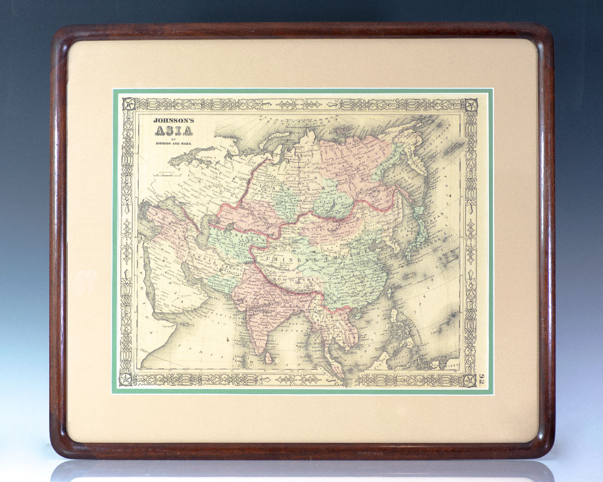
![Asia. [Nathaniel and Simeon Smith Jocelyn Nineteenth Century Engraved Map of Asia].](https://raptis.bvbeta.com/wp-content/uploads/2026/01/RRB-137394.jpg)
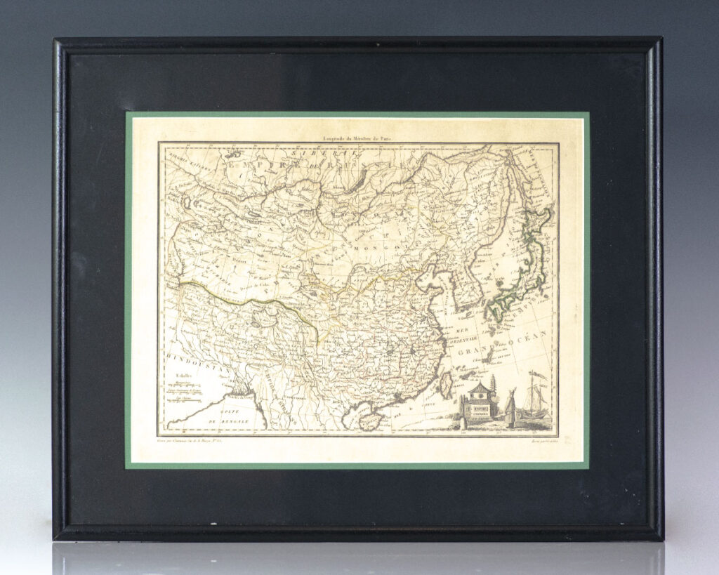
![Empire Chinois et Japon. [Nineteenth Century Conrad Malte-Brun Map of the Chinese Empire] [China].](https://raptis.bvbeta.com/wp-content/uploads/2025/12/RRB-137350.jpg)
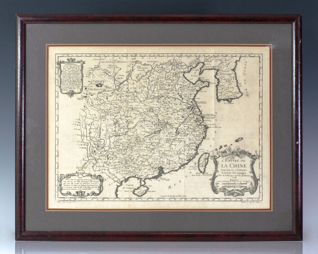
![L’Empire de La Chine Pour Servir a l’Histoire Generale des Voyages. [Eighteenth Century Jacques-Nicolas Bellin Map of China].](https://raptis.bvbeta.com/wp-content/uploads/2026/01/RRB-137234.jpg)
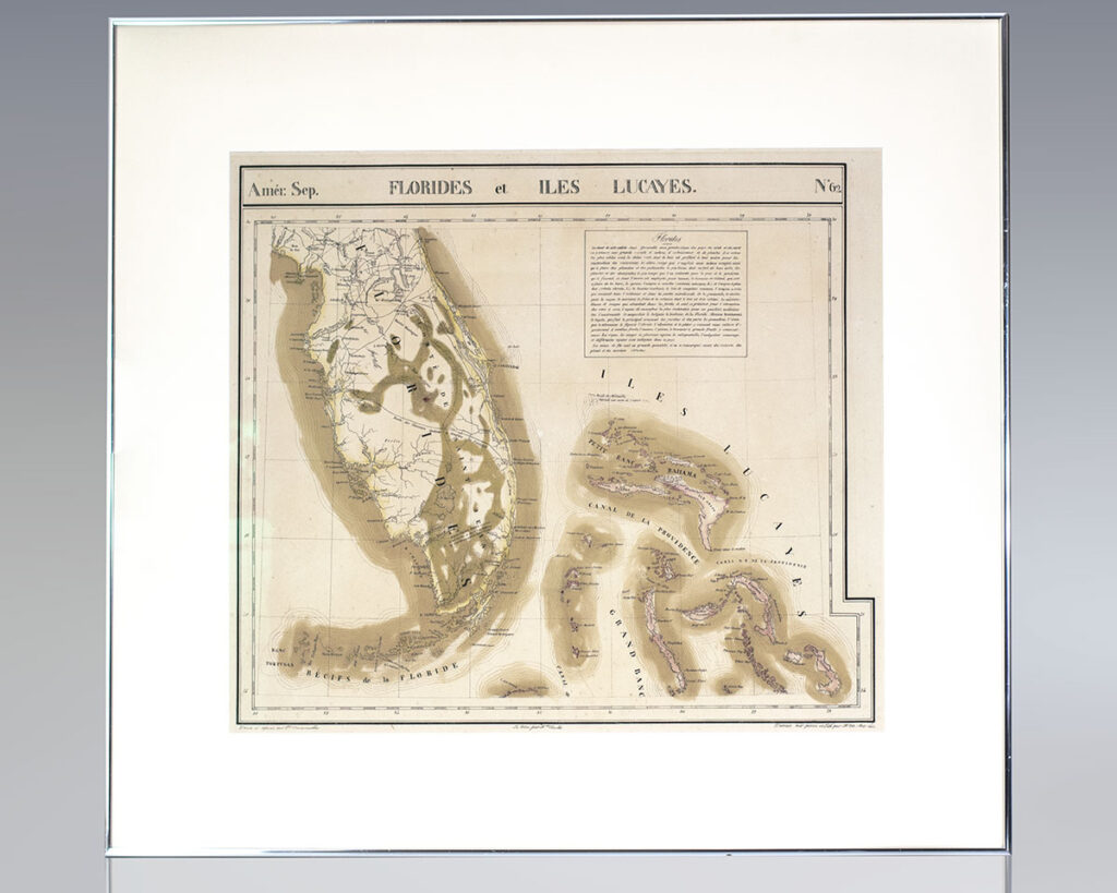
![Amérique Septentrionale. Florides et Iles Lucayes. No. 62. [Map of Florida and the Bahamas].](https://raptis.bvbeta.com/wp-content/uploads/2026/01/RRB-137108.jpg)


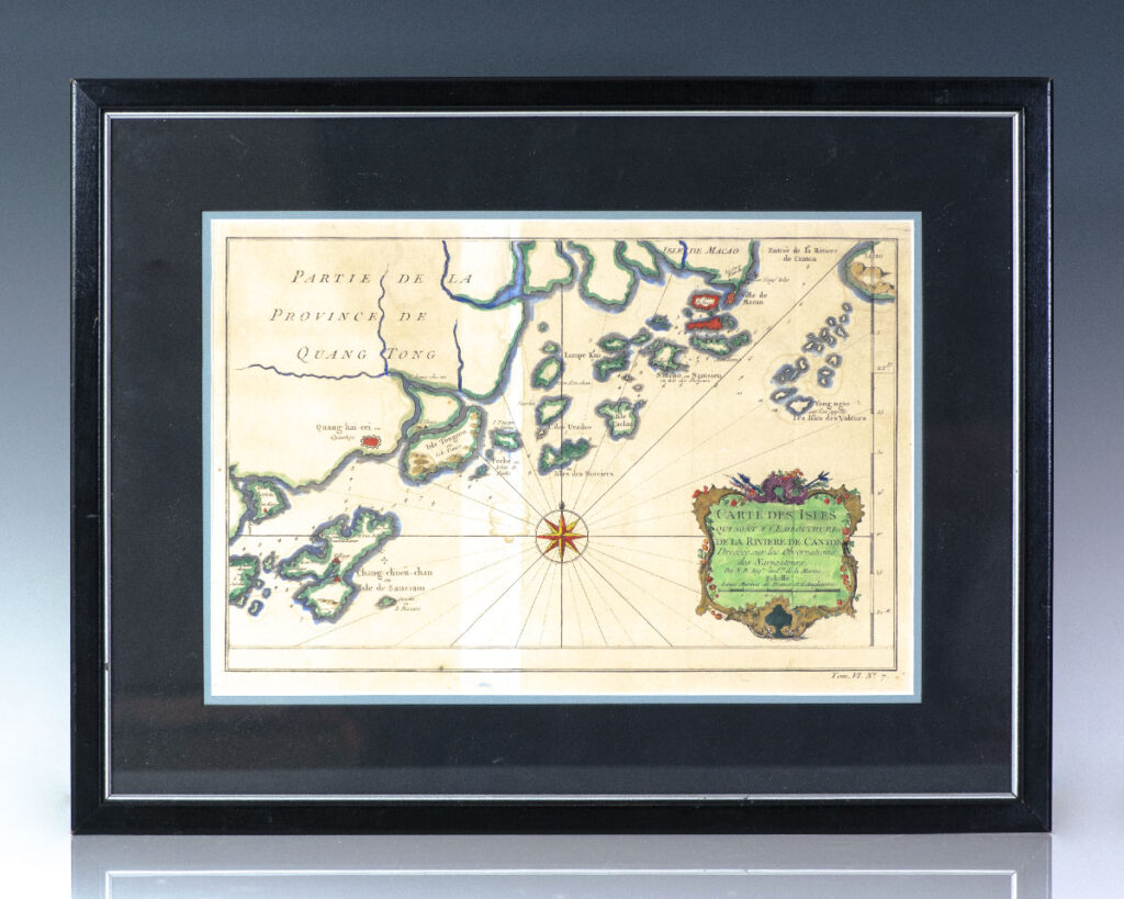
![Carte Des Isles Qui Sont a l’Embouchure de la Riviere de Canton. [Eighteenth Century Map Of The Islands Which Are At The Mouth Of The Canton River].](https://raptis.bvbeta.com/wp-content/uploads/2025/12/RRB-137244.jpg)
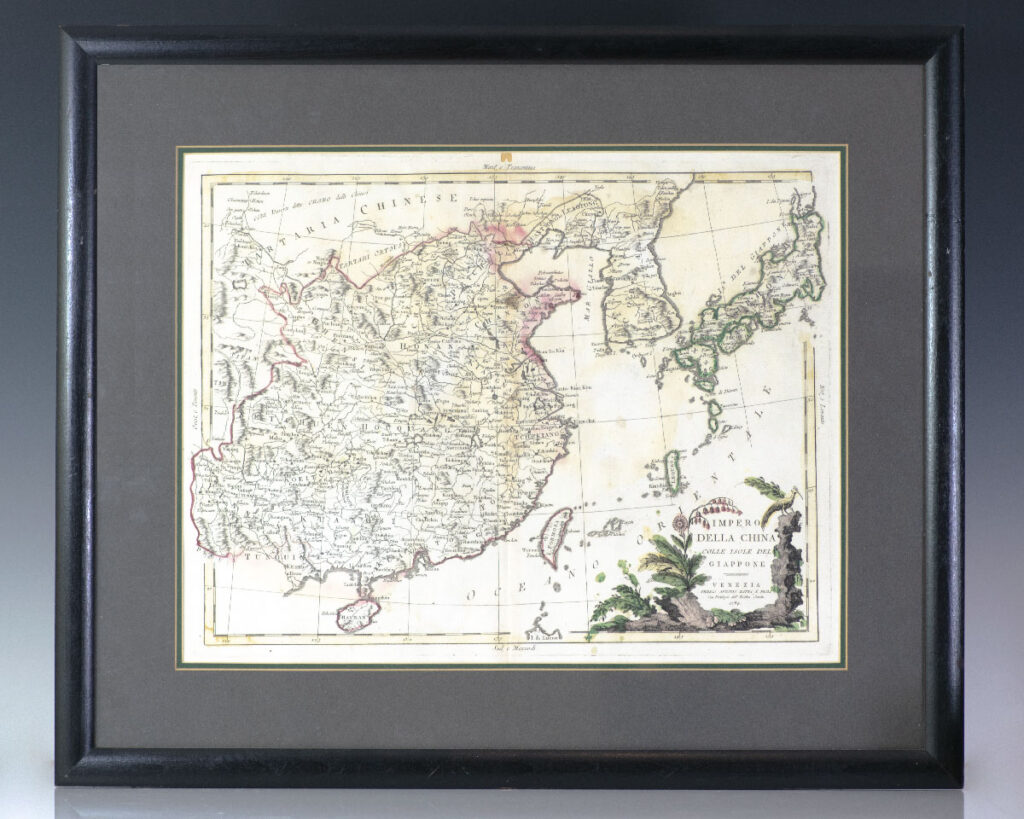
![Impero Della China Colle Isole Del Giappone. [Eighteenth Century Antonio Zatta Map of the Empire Of China and Islands Of Japan]](https://raptis.bvbeta.com/wp-content/uploads/2026/01/RRB-137611.jpg)
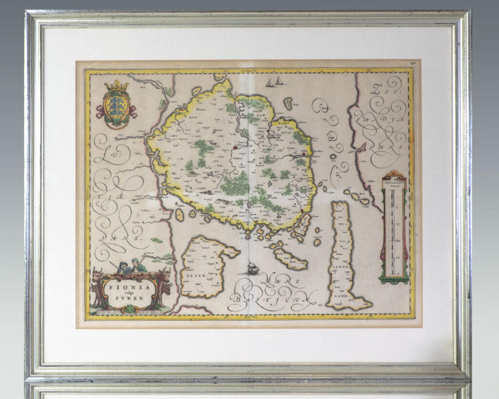
![Fionia vulgo Funen. [Seventeenth Century Joan Blaeu Map of Funen].](https://raptis.bvbeta.com/wp-content/uploads/2025/12/RRB-137508.jpg)