Ward, Benjamin P. and Alvin Jewett Johnson
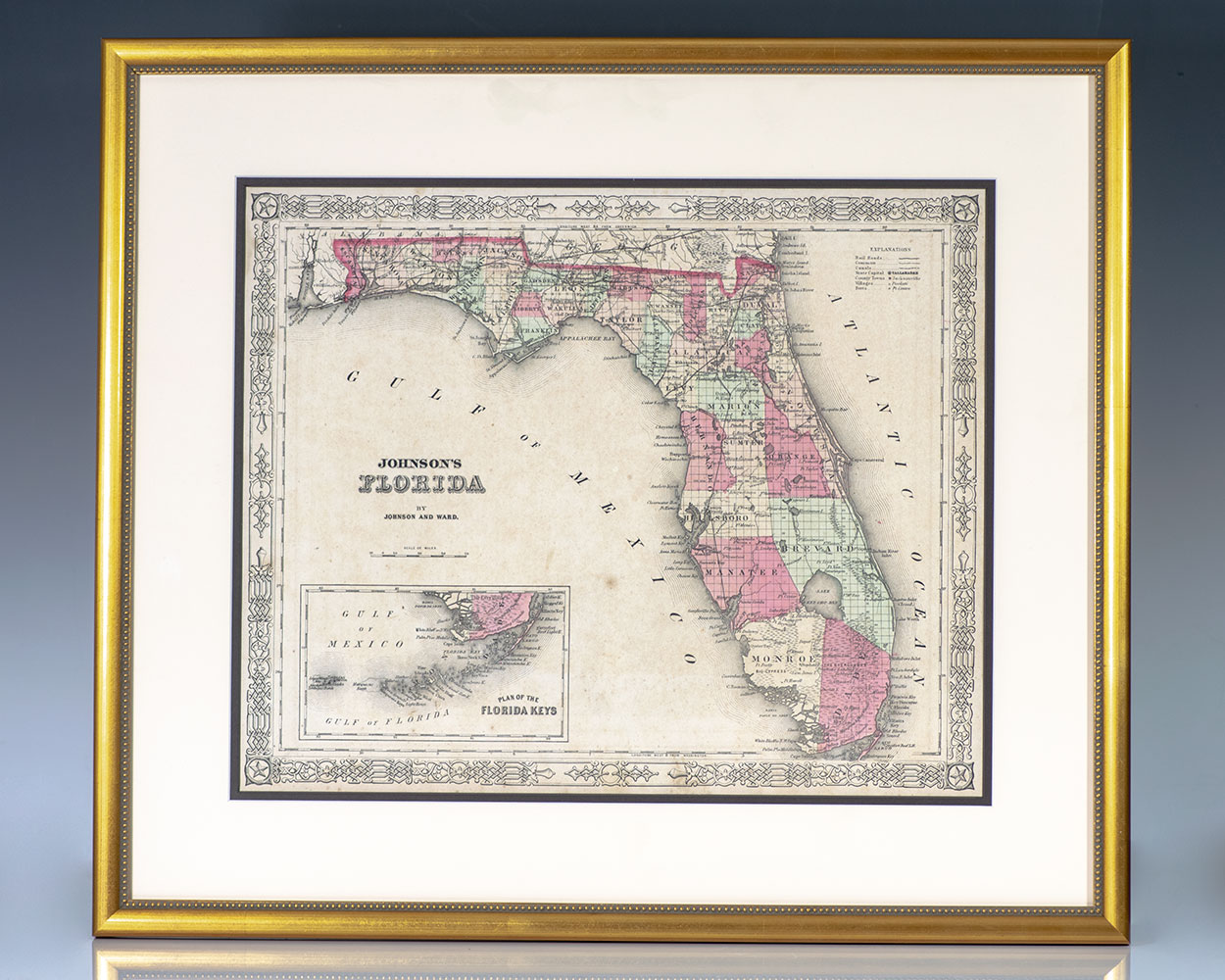
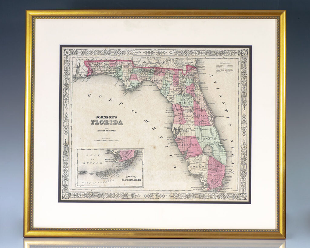
Johnson’s Map of Florida.
New York : Johnson and Ward, c. 1866.
Rare 19th century example of Johnson’s famed post-Civil War era map of the state of Florida. One page, the hand-colored lithographic map depicts the state in full with color coding according to county shortly following the close of the American Civil War with references to towns, railroads, villages, depots, swamps, the territories of Native AmericanContinue reading "Johnson’s Map of Florida."
Read more$1,800.00
Item Number: RRB-138512