Ludlam, Stephen [Wall Street]
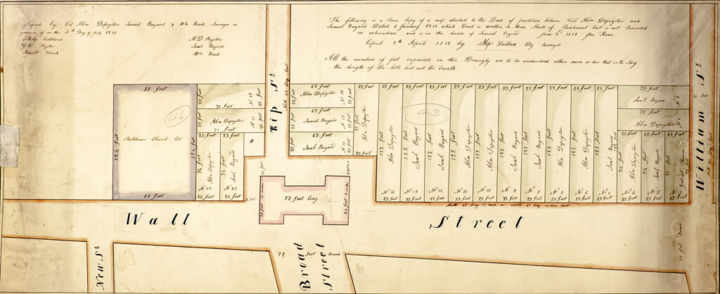
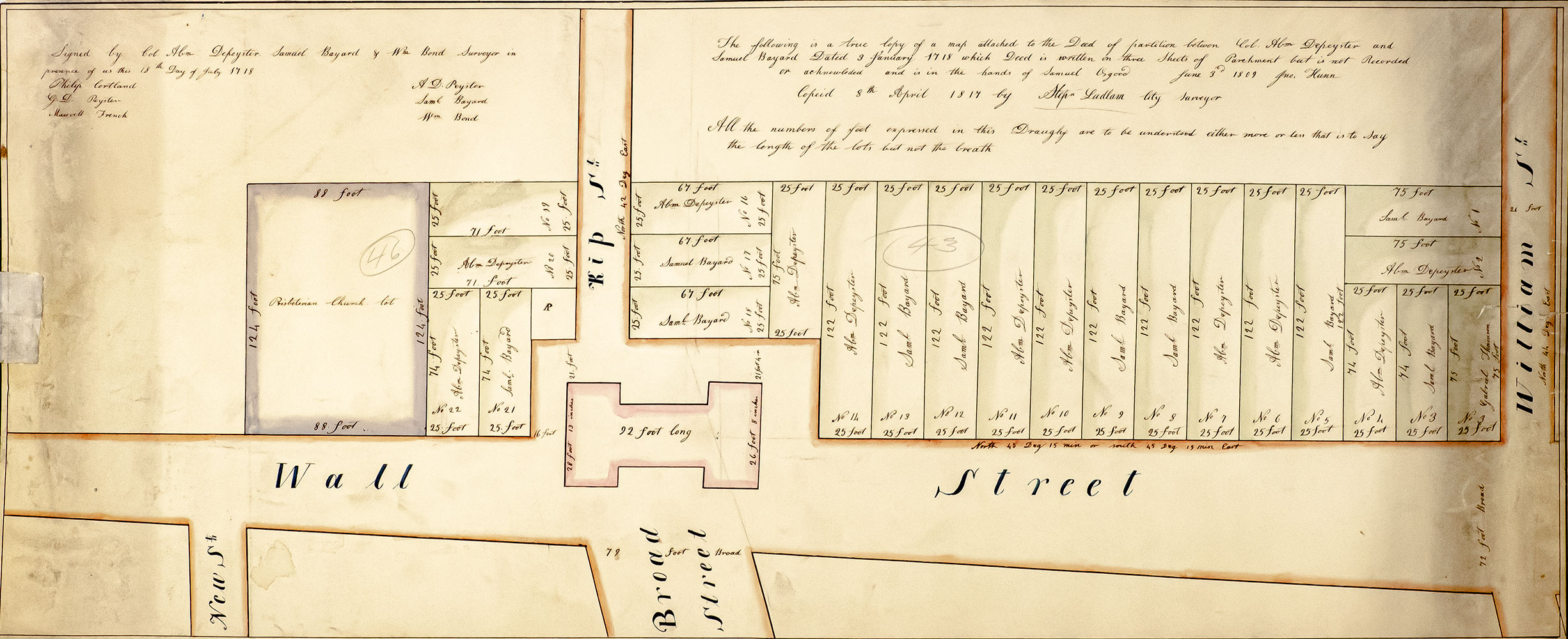
Early American Wall Street Survey Map.
April 8, 1817.
Rare 1817 hand-colored copy of an original map of early 18th century Wall Street attached to a Deed of Partition between Col. Abraham de Peyster and Samuel Bayard dated January 3rd 1718, copied on April 8th 1817 by Stephen Ludlam, City Surveyor. One page, the hand-colored map details the intersection of Wall Street, Broad Street,Continue reading "Early American Wall Street Survey Map."
Read more$9,800.00
Item Number: RRB-139509
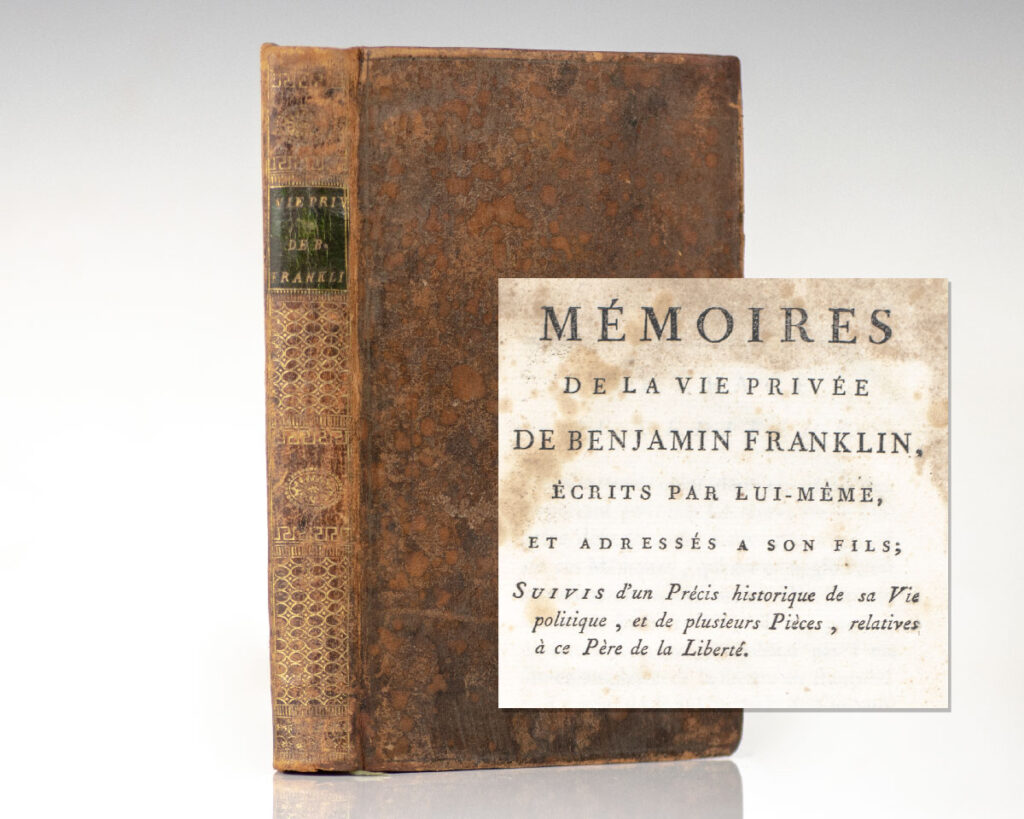

![Mémoires de la Vie Privée de Benjamin Franklin, Écrits Par Lui-Même, et Adressés à Son Fils, Suivis d’un Précis Historique de Sa Vie Politique, et de Plusieurs Pièces, Relatives à Ce Père de la Liberté. [Memoirs of Benjamin Franklin].](https://raptis.bvbeta.com/wp-content/uploads/2025/12/RRB-139755.jpg)
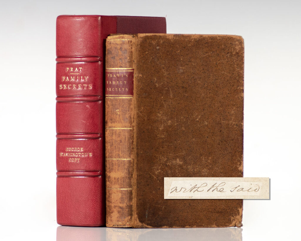
![Family Secrets: By Mr. Pratt. Volume III. [From the Library of George Washington].](https://raptis.bvbeta.com/wp-content/uploads/2025/12/RRB-139518.jpg)
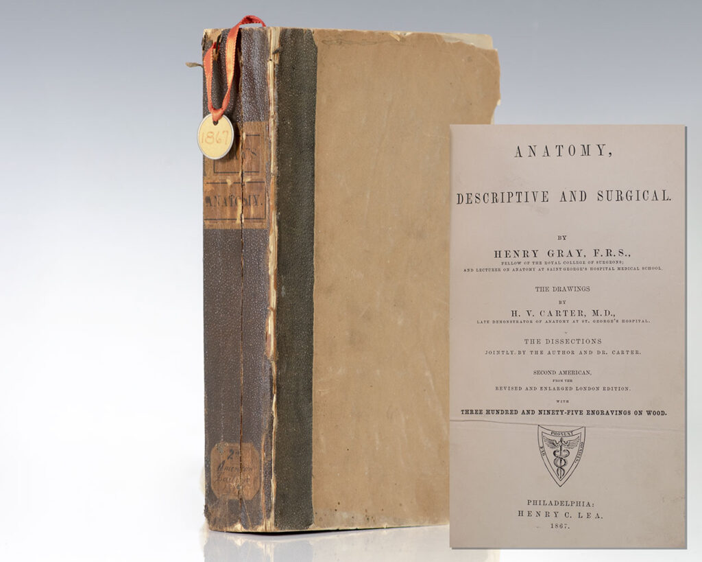
![Anatomy, Descriptive and Surgical. [Gray’s Anatomy].](https://raptis.bvbeta.com/wp-content/uploads/2025/12/RRB-137096.jpg)
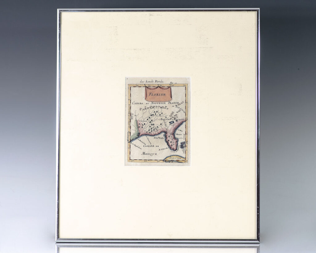
![Floride. Das Landt Florida. [17th Century Map of Florida].](https://raptis.bvbeta.com/wp-content/uploads/2026/01/RRB-138207.jpg)
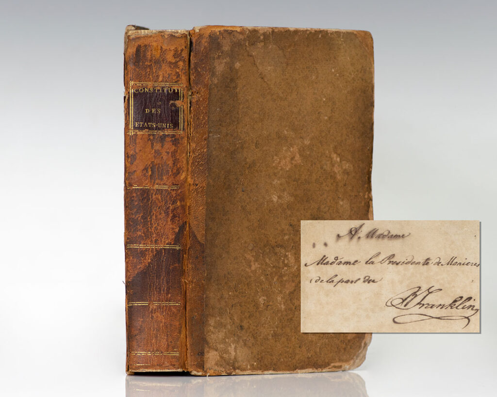
![Constitutions des Treize Etats-Unis De L’Amerique. [Constitutions of the Thirteen United States of America].](https://raptis.bvbeta.com/wp-content/uploads/2026/01/RRB-138381.jpg)