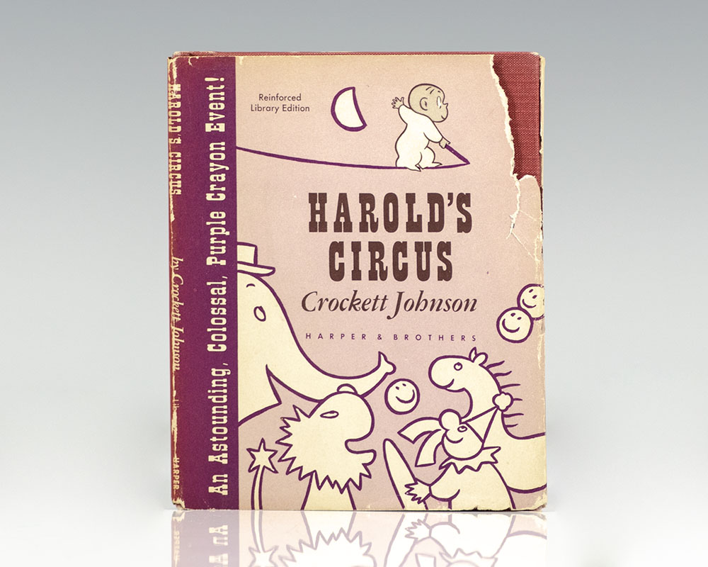
Johnson, Crockett
Harold’s Circus: An Astounding, Colossal, Purple Crayon Event!
New York : Harper & Brothers, 1959.
First edition of the fifth book in the author’s beloved series. 16mo, original cloth, illustrated. Fine in a very good price-clipped dust jacket. Scarce.
Read more$400.00
Item Number: RRB-101254