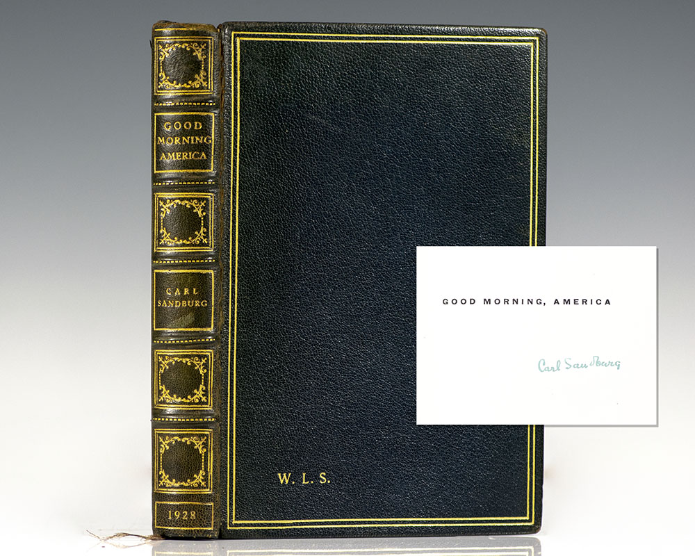
Sandburg, Carl. [William Safire]
Good Morning America.
New York : Crosby Gaige, 1928.
Signed limited first edition of Sandburg’s classic poem, originally delivered at Harvard as a Phi Beta Kappa poem. Octavo, bound in full morocco with gilt titles and tooling to the spine in six compartments within raised gilt bands, double gilt ruling to the front and rear panels, gilt turn-ins and inner dentelles, marbled endpapers, topContinue reading "Good Morning America."
Read more$350.00
Item Number: RRB-127368