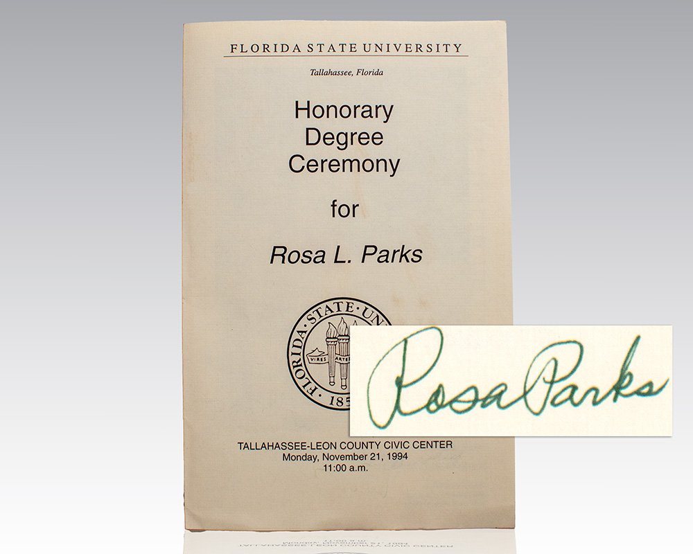
[Charlie Kirk]
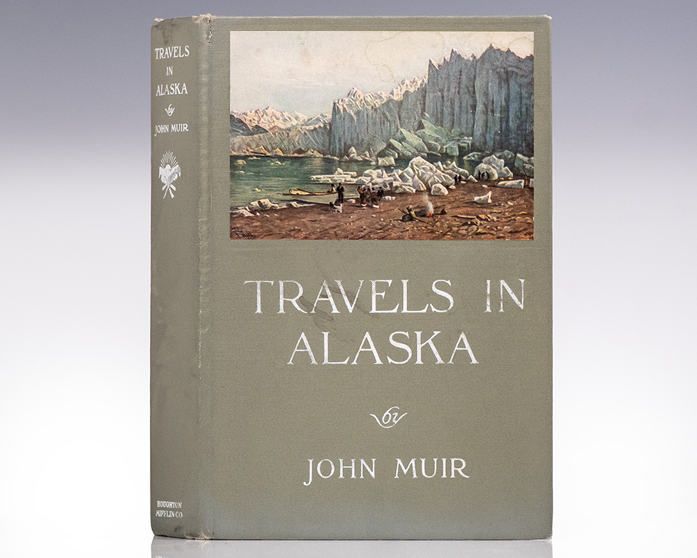
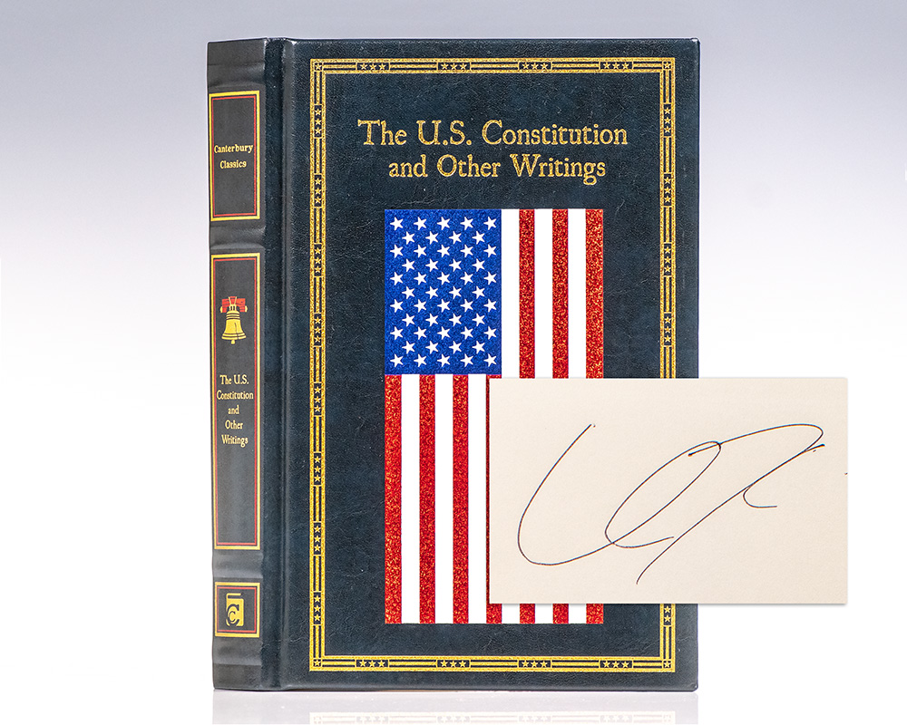
The U.S. Constitution and Other Writings.
San Diego : Canterbury Classics, 2017.
Finely bound example of the Constitution of the United States. Octavo, bound in full leatherette, illustrated endpapers, all edges gilt. Boldly signed by Charlie Kirk on the half-title page. Kirk signed this in Palm Beach in December of 2024. In fine condition. Rare and desirable signed.
Read more$2,500.00
Item Number: RRB-150507