
[JACKSON, Andrew].
The Jackson Wreath, or a National Souvenir.
Philadelphia: Published by Jacob Mass, Franklin Engraving Office Arcade , 1829.
$1,200.00
In Stock
Item Number: RRB-151248
+$450
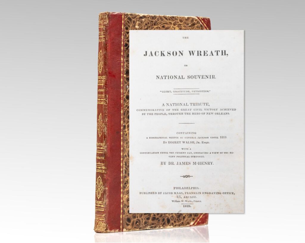
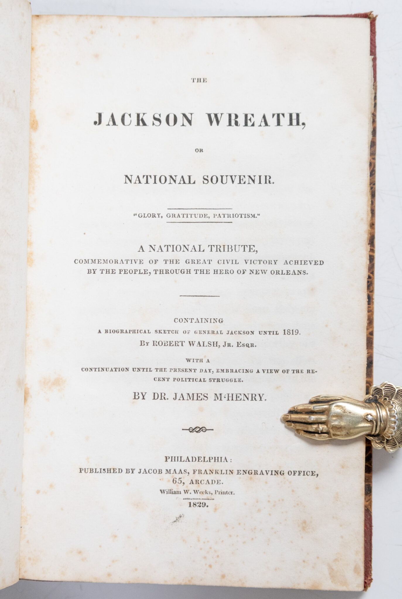
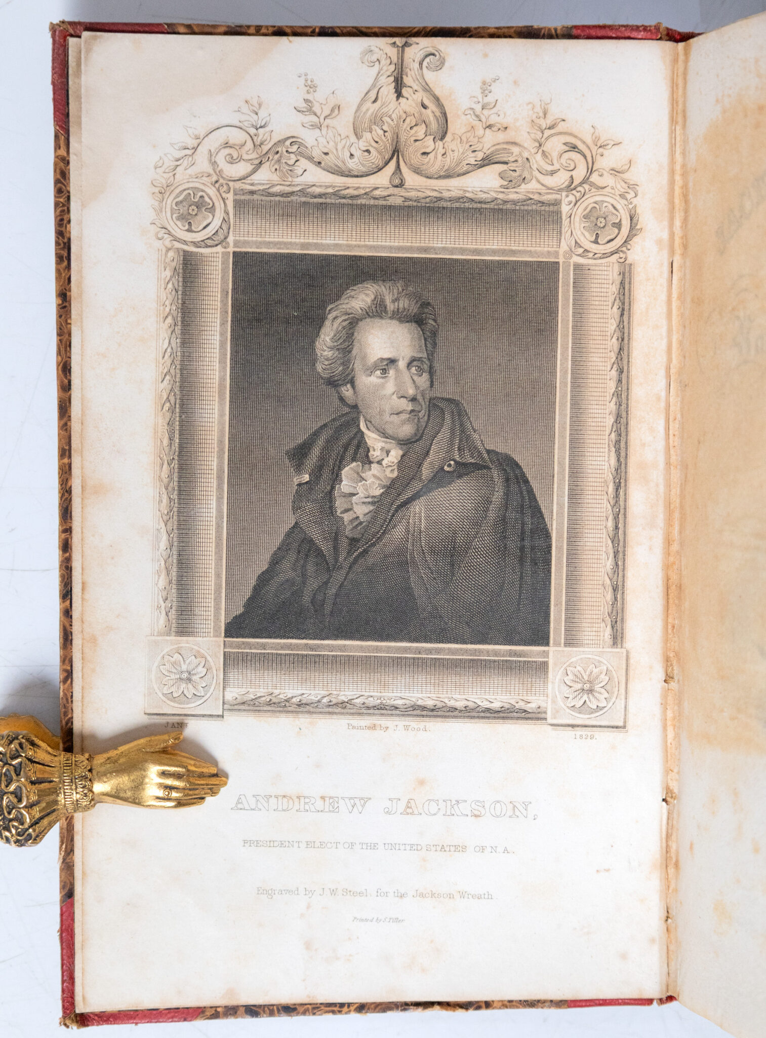
First edition of The Jackson Wreath, or a National Souvenir; With the Rare Hand-Colored Folding Map of the United States
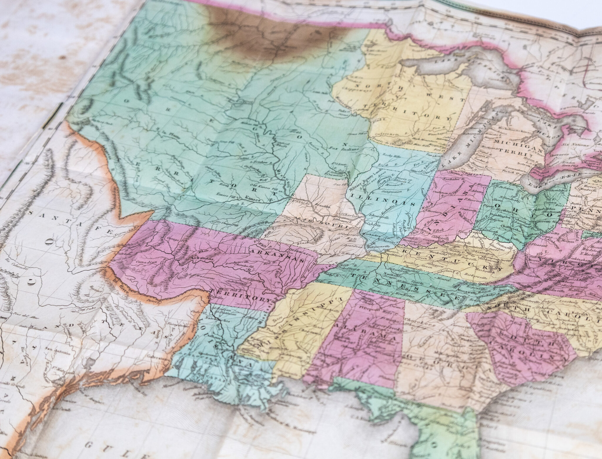
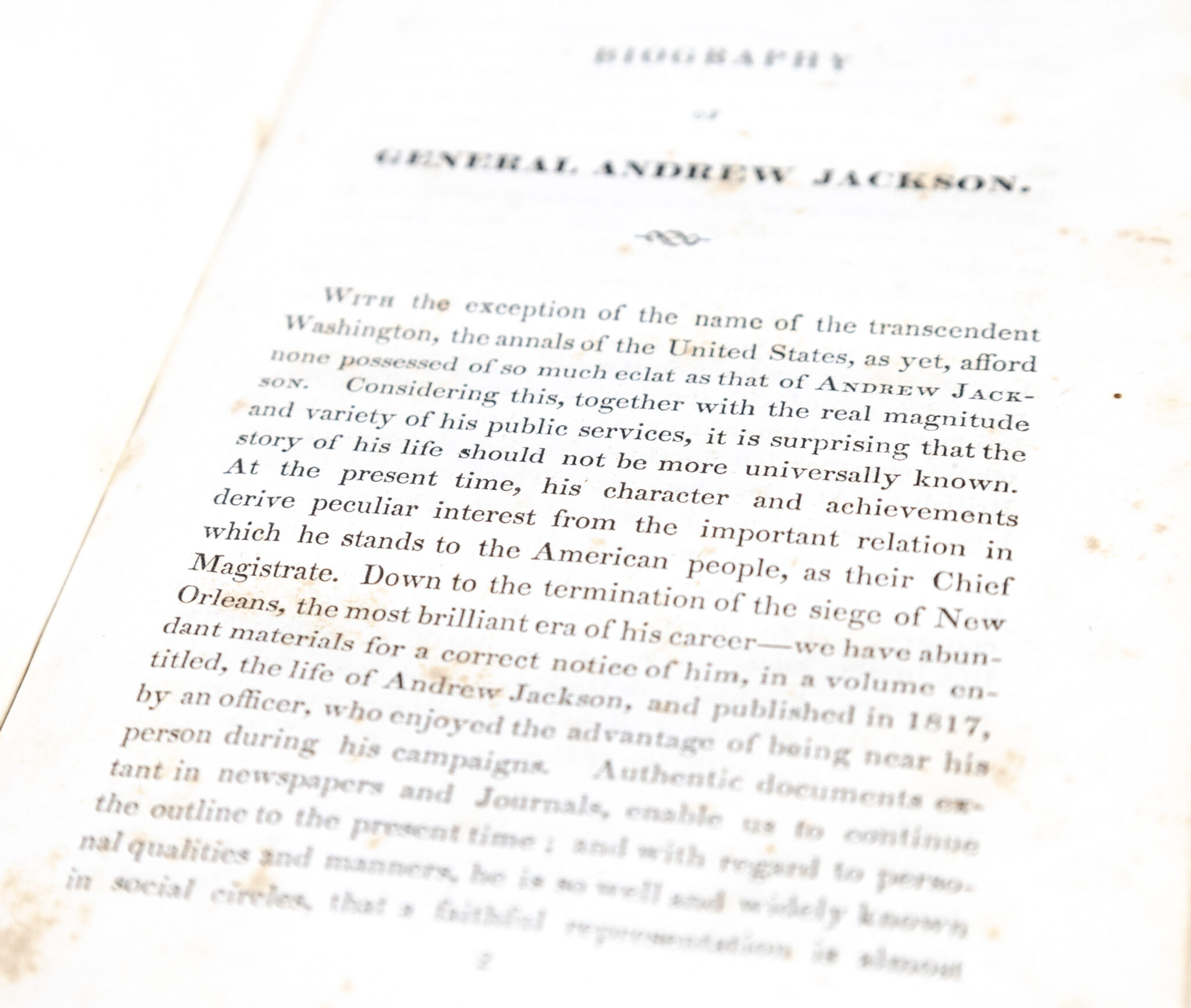
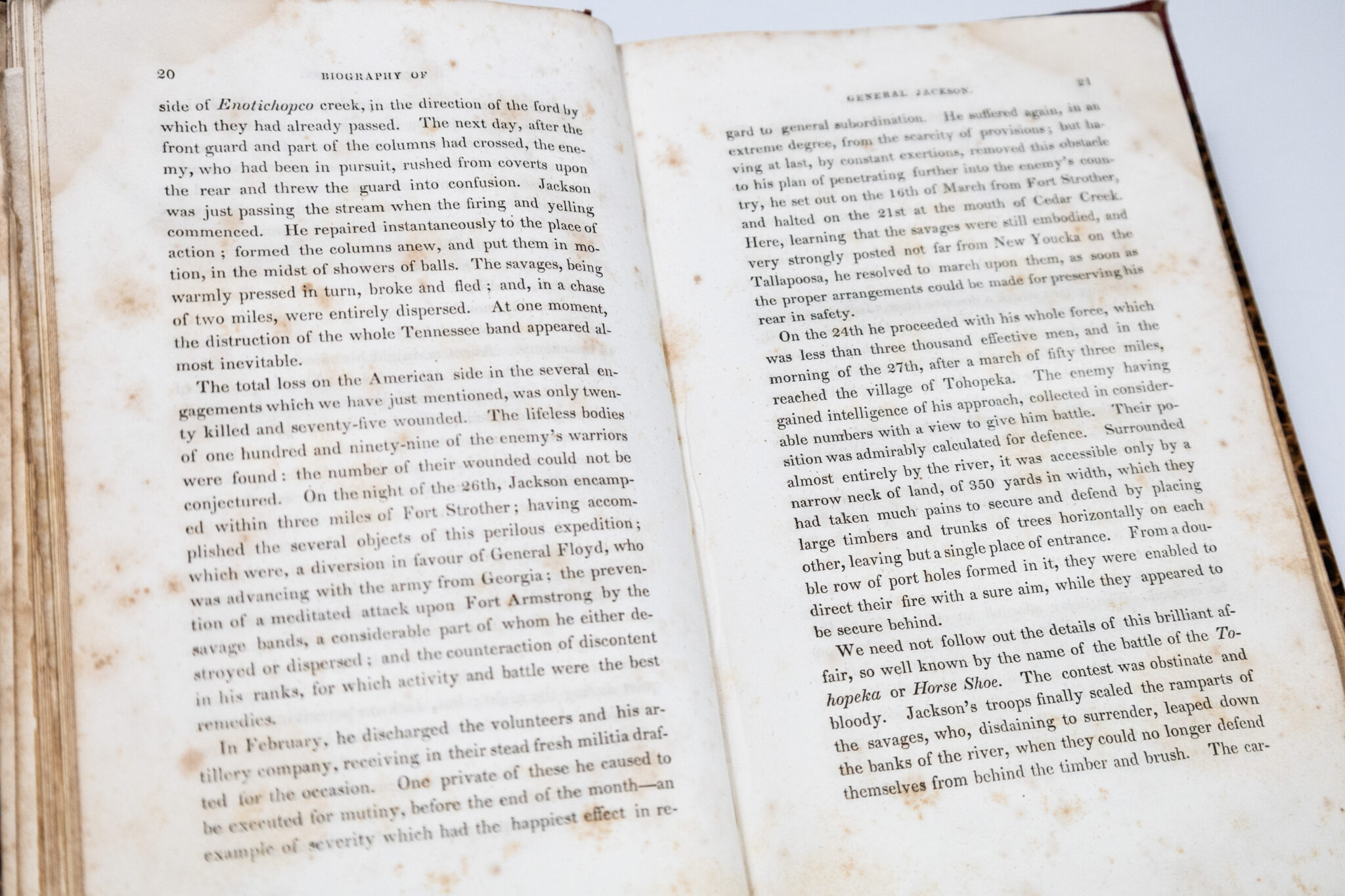
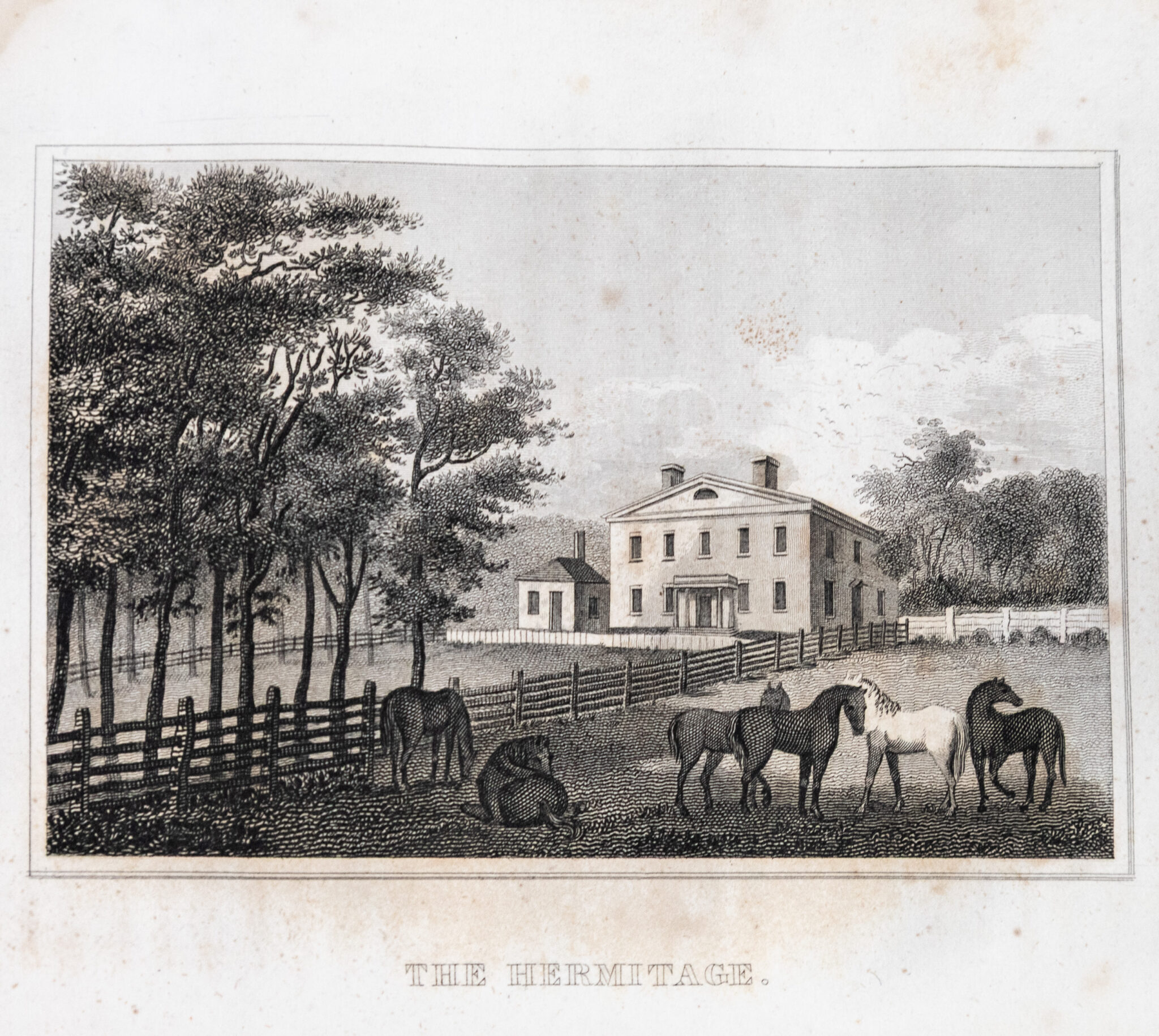
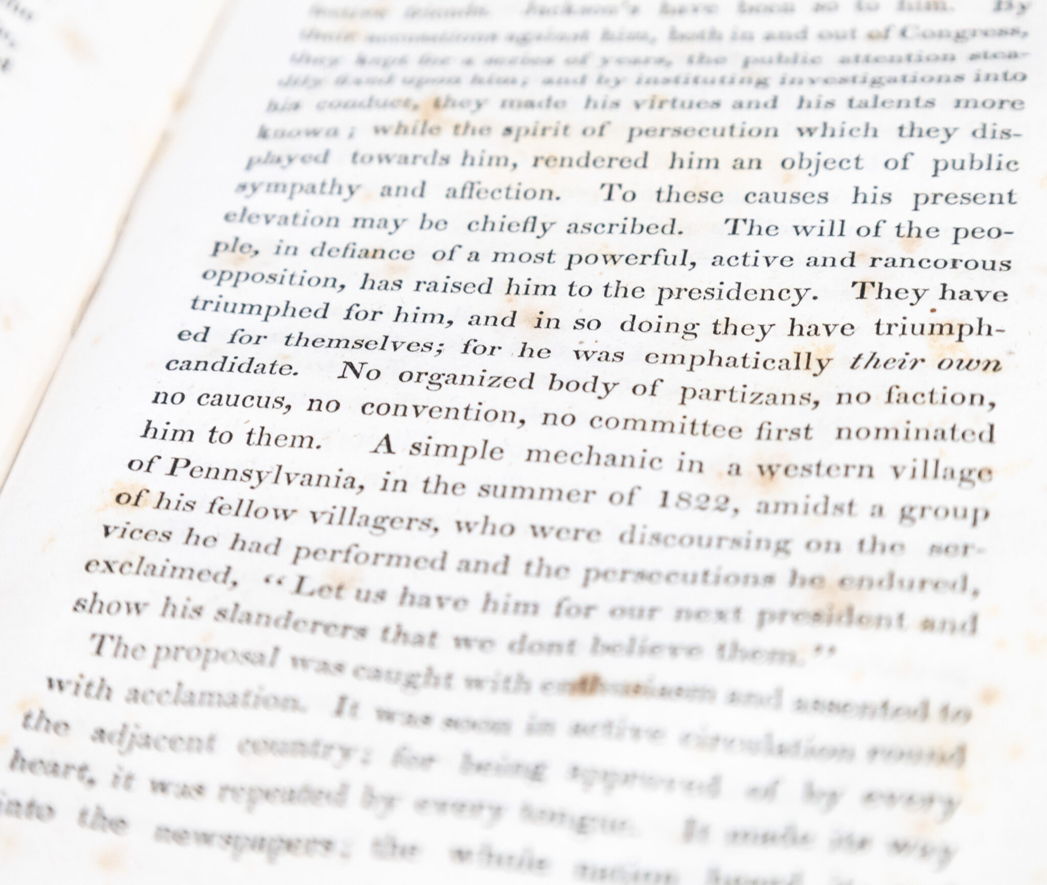
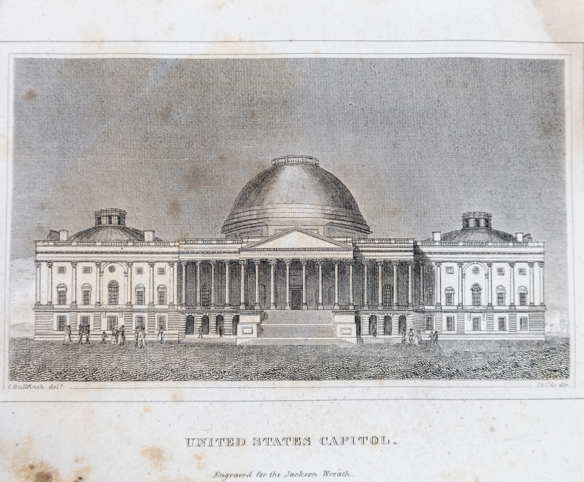
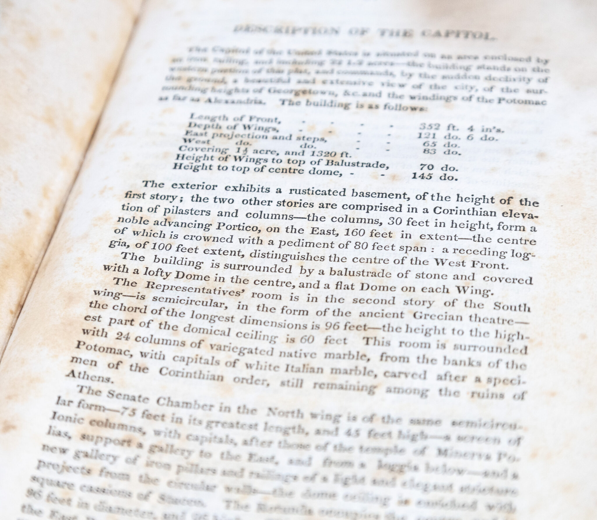
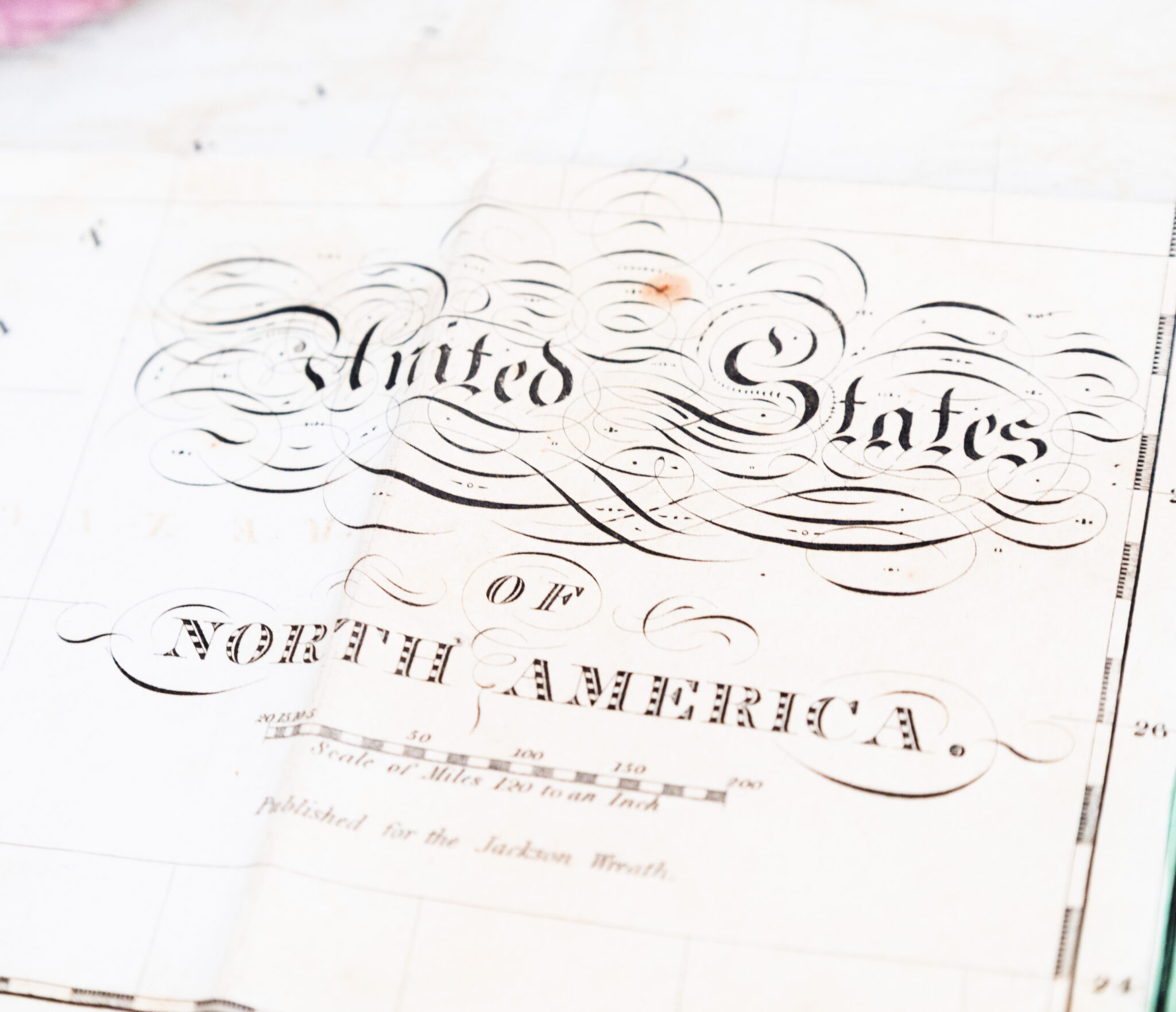
First edition of this scarce pro-Jackson biography published just after he won the 1828 presidential election, with the scarce folding copper-engraved, hand-colored map of the United States. Octavo, bound in three quarter maroon leather over marbled boards with gilt titles and tooling to the spine, marbled endpapers, illustrated with frontispiece portrait, engraved title, four plates, three engraved sheets of music and a large hand-colored folding map of the United States. Howes W68; Sabin 101164. Printed exclusively for this publication, the map is nearly identical to John Melish's 1820 map of the United States. John Melish’s 1820 map, titled Map of the United States with the Contiguous British and Spanish Possessions, was one of the earliest widely circulated maps to depict the United States extending across the North American continent to the Pacific Ocean. Produced at a moment of rapid territorial expansion following the Louisiana Purchase, the map powerfully illustrated emerging American geographic ambitions and helped shape popular perceptions of the nation’s continental future. In the north, Michigan extends beyond the western shore of Lake Michigan, with North West Territory embracing the remainder of present-day Wisconsin and much of Minnesota; west of that, and west of Illinois and Missouri, is "Oregon Territory to the upper Missouri River." Arkansas territory extends to include present-day Oklahoma. In very good condition. Rare with the map present.
The Jackson Wreath, or a National Souvenir.
$1,200.00
In Stock