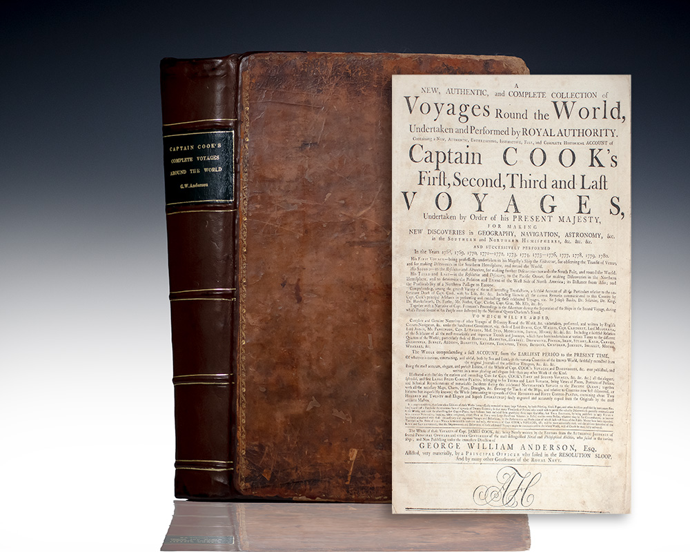
COOK, James.
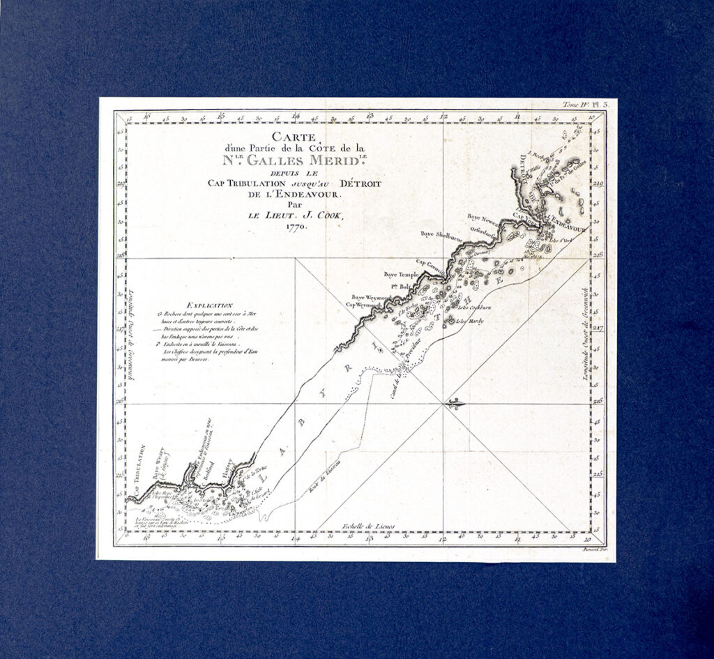
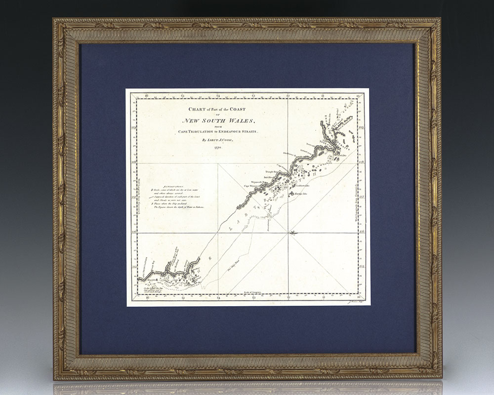
Chart of Part of the Coast of New South Wales from Cape Tribulation to Endeavour Straits (1773), from: An Account of the Voyages Undertaken by the Order of His Present Majesty for Making Discoveries in the Southern Hemisphere.
London: Strahan & Cadell , 1773.
+$450
Chart of Part of the Coast of New South Wales from Cape Tribulation to Endeavour Straits (1773), from: An Account of the Voyages Undertaken by the Order of His Present Majesty for Making Discoveries in the Southern Hemisphere
One of the first detailed maps of this part of Australia's east coast and Great Barrier Reef. The map measures 13.25 inches by 12 inches. Matted and framed, the entire piece measures 20.5 inches by 22 inches. In near fine condition.
Chart of Part of the Coast of New South Wales from Cape Tribulation to Endeavour Straits (1773), from: An Account of the Voyages Undertaken by the Order of His Present Majesty for Making Discoveries in the Southern Hemisphere.
Out of Stock